Researchers at the Resilient Infrastructure and Disaster Response Center (RIDER) are using artificial intelligence and aerial imaging to make Florida’s school zones safer.
A study led by researchers at RIDER and the FAMU-FSU College of Engineering uses computer vision tools to replace manual inventories of road features in school zones. The study was published by Transportation Research Record.
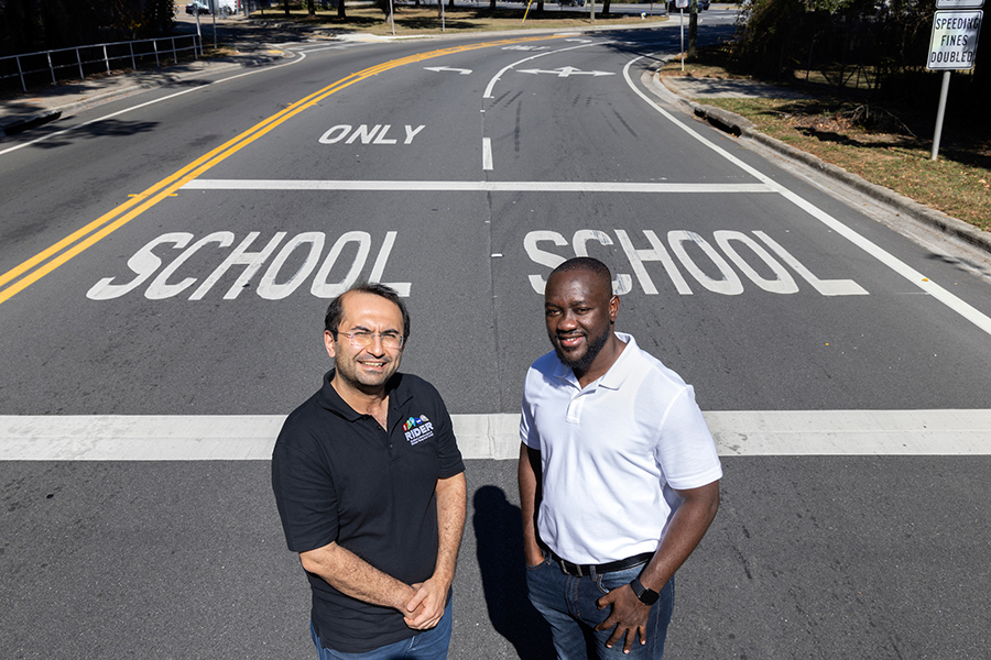
“Land-based methods are tedious, costly and potentially hazardous for crew members working on busy roadways,” said lead author and doctoral student Richard Antwi. “Our research team has designed a new AI-based tool that collects data using aerial technology that is more accurate, faster and costs less.”
The researchers used artificial intelligence-driven computer vision and deep learning techniques to extract information from images and videos and process it into useful data.
They set up the initial study in Orange County, Florida, home to more than 250 public schools with over 200,000 students and a county-wide population of about 1.42 million people. The team used aerial imagery archived with the Florida Department of Transportation and computer modeling to map school zones, then developed a method to extract recognizable school zone markings from high-quality photographs.
Their method identifies outdated and invisible markings by comparing the locations of school zones with other geometric features, such as crosswalks. The procedure eliminates the need for manual inventory data entry, prevents errors and speeds up results.
“Collecting up-to-date roadway geometry data is essential for transportation agencies so they can undertake planning, maintenance, design and rehabilitation of roadways,” said Eren Ozguven, RIDER director and a study co-author. “Our goal was to improve that process, which will pay dividends for students, pedestrians and drivers in Florida.”
WHY IT MATTERS:
The new model provides critical information for transportation agencies that will ultimately save lives. The method is more accurate and provides vital information to analyze school zone markings that are old and less visible and may pose crash risks and hazards. Officials can address areas of need faster.
The researchers plan to improve the model by integrating crash and traffic data and demographics for a more detailed analysis.
WHO’S INVOLVED:
The research is a collaboration between the FAMU-FSU College of Engineering, the University of North Florida and the software company Iteris.
Researchers from the FAMU-FSU College of Engineering included Antwi, Ozguven, doctoral student Samuel Takyi, Professor Ren Moses and Associate Professor Maxim Dulebenets. Other authors were former doctoral student Alican Karear, who is now a data scientist at Iteris, and Thobias Sando, a professor at the University of North Florida.
WHERE IS FUNDING COMING FROM:
The Florida Department of Transportation is funding the $223,843 study through Florida State University.