Florida State University research published today in Science Advances demonstrates a new framework for predicting the motion of kilometer-scale underwater waves that complicate satellite readings of the ocean.

By accurately modeling these subsurface waves, scientists can remove their interference from NASA’s Surface Water and Ocean Topography, or SWOT, satellite, improving the satellite’s signal and allowing for observations of the Earth’s ocean circulation that are about 60 percent more accurate.
“SWOT is giving us the clearest view we have ever had of the ocean’s fine-scale circulation, the small eddies and currents that govern how much heat and carbon the ocean draws down from the atmosphere,” said study lead author Yadidya Badarvada, a researcher at FSU’s Center for Ocean-Atmospheric Prediction Studies who completed the work at FSU and while a postdoctoral researcher at the University of Michigan. “But those measurements have been partially obscured by internal tides, which mimic the very features we are trying to observe. What this work shows is that the interference we assumed was too chaotic to fix is actually predictable, once you have a model that accurately tracks the evolving ocean state.”
How it works
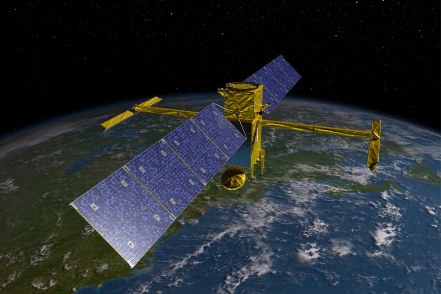
The SWOT satellite orbits Earth more than 500 miles above the planet’s surface.
Jointly operated by NASA and the French space agency CNES, this satellite observes the surface of the ocean, rivers and lakes to provide high-resolution data used by meteorologists, oceanographers, hydrologists and other scientists. SWOT imaging helps answer questions about the path of rivers, the aftermath of tsunamis and other water features on the planet’s surface.
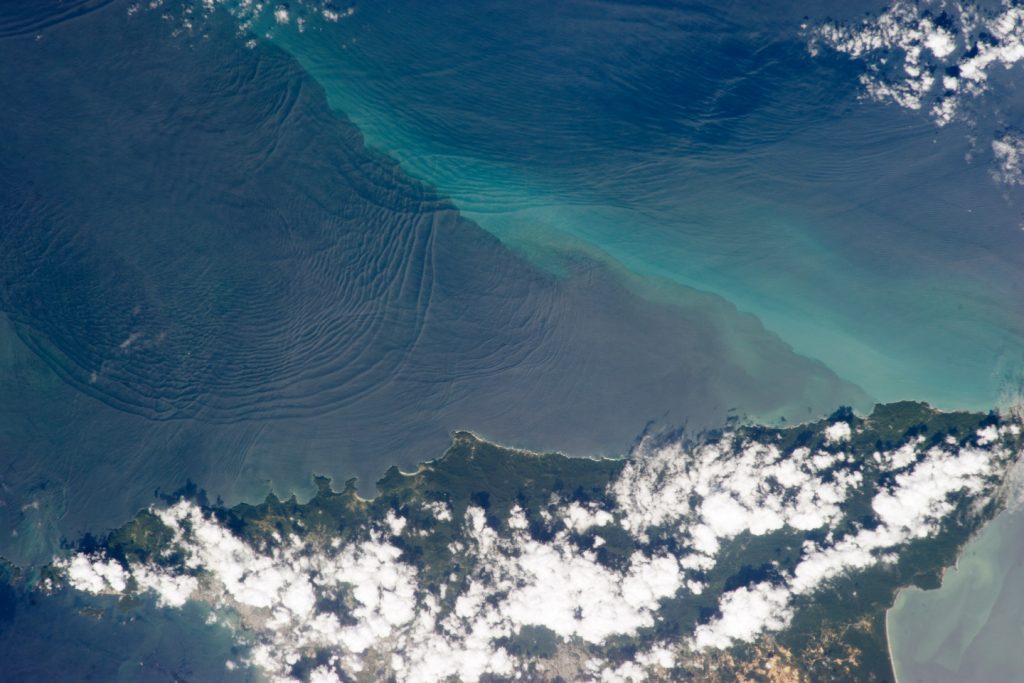
But finding the ground truth on the planet from the sky can be difficult. Complicating SWOT’s readings over the ocean are internal tides traveling beneath the ocean surface, whose signals overlap with the very features scientists are trying to observe.
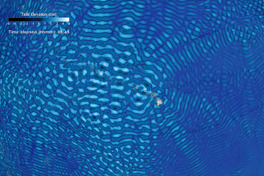
Known as internal tides, these underwater waves have historically been the major challenge for measuring sea surface height. These “non-phase-locked” internal tides did not appear to have a predictable pattern, and researchers thought their interference was too chaotic to be corrected using standard statistical or sensing tools.
What they did
To solve this problem, the researchers developed a new framework based on the Hybrid Coordinate Ocean Model, or HYCOM, a three-dimensional depiction of the ocean state at fine resolution in real time. This existing, operational U.S. Navy ocean forecast system is the result of decades of development from researchers across institutions, including FSU’s Center for Ocean-Atmospheric Prediction Studies.
HYCOM works by continuously combining a physics-based simulation of the ocean with a real-time stream of observational data, a technique called data assimilation. Every day, the model takes in measurements from orbiting satellites that track sea surface height and temperature, robotic floats that drift through the ocean interior measuring temperature and salinity at depth, moored buoys and ship-based instruments. The model uses all of this incoming information to constantly correct its simulation, keeping it as close to the true state of the ocean as possible.
Because HYCOM explicitly simulates the forces that drive tides, including their interaction with seafloor ridges and seamounts, the internal tide field emerges directly from the model’s own ocean physics rather than being estimated separately.
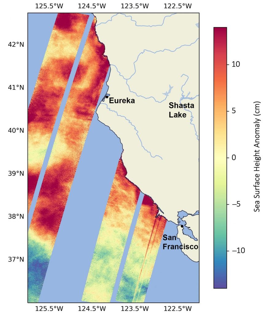
By separating HYCOM’s internal tide predictions into predictable and chaotic components, the team could identify and remove both from SWOT’s measurements. Because SWOT data were never fed into HYCOM, the comparison was a genuine independent test. The result was a 59 percent improvement over the best correction method currently applied to the satellite.
Why it matters
The improved model could help SWOT provide a more accurate picture of the ocean’s surface and currents, which are crucial to our understanding of how the ocean functions. Without accurately observing them from space, scientists cannot track the ocean’s capacity to buffer rising temperatures or verify the models used to project future warming. The work has applications in forecasting, navigation, infrastructure planning and more.
“We can’t deploy buoys across the entire globe to take measurements,” Badarvada said. “The information from SWOT fills a huge gap in our understanding of the physics and dynamics that govern the ocean and how it transports heat and nutrients on a massive scale. We used a model the Navy built to navigate the ocean and ended up giving NASA’s most advanced ocean satellite significantly clearer eyes. That kind of unexpected overlap between defense science and Earth observation is exactly what this project has been about.”
Researchers from the University of Michigan, Oregon State University, Naval Research Laboratory, University of Southern Mississippi, and the French company CLS Group were co-authors on this study. This research was supported by the Office of Naval Research, NASA and the French space agency CNES.